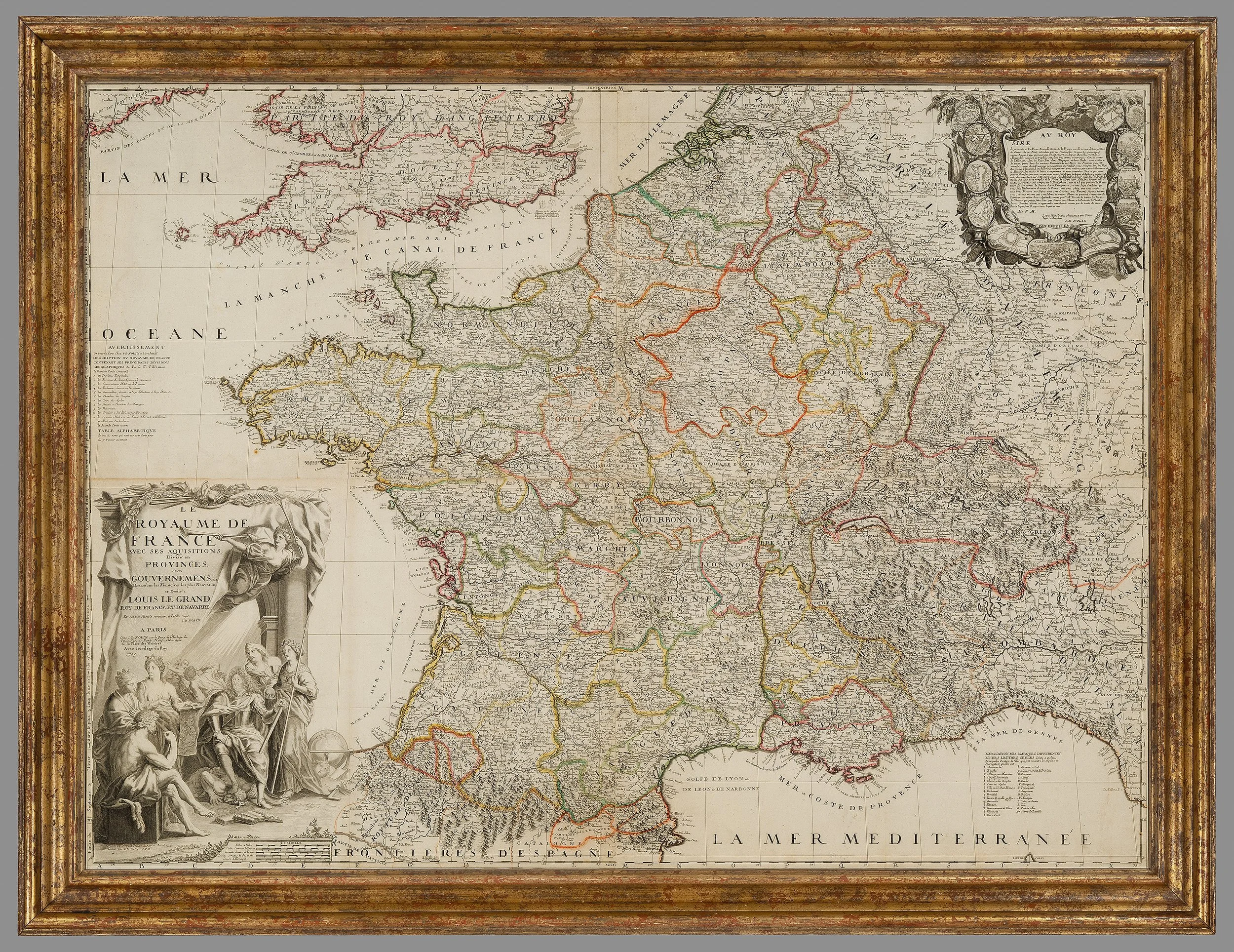
AN RARE EARLY 18TH CENTURY WALL MAP OF FRANCE By Jean-Baptiste Nolin


[Click image to view in new window, left or right arrow to see previous or next image.]
AN RARE EARLY 18TH CENTURY WALL MAP OF FRANCE By Jean-Baptiste Nolin
Date: 1705
Dimensions;
Height: 44inch /1120mm
Width: 57 inches / 1450mm
Note, Condition exceptional.
Framed in a heavy gilt frame.
By Jean-Baptiste Nolin was born c. 1657.
In 1694 Nolin was named geographer to the Duke of Orléans (Philippe II), and in 1701 he was named engraver to the king (Louis XIV).
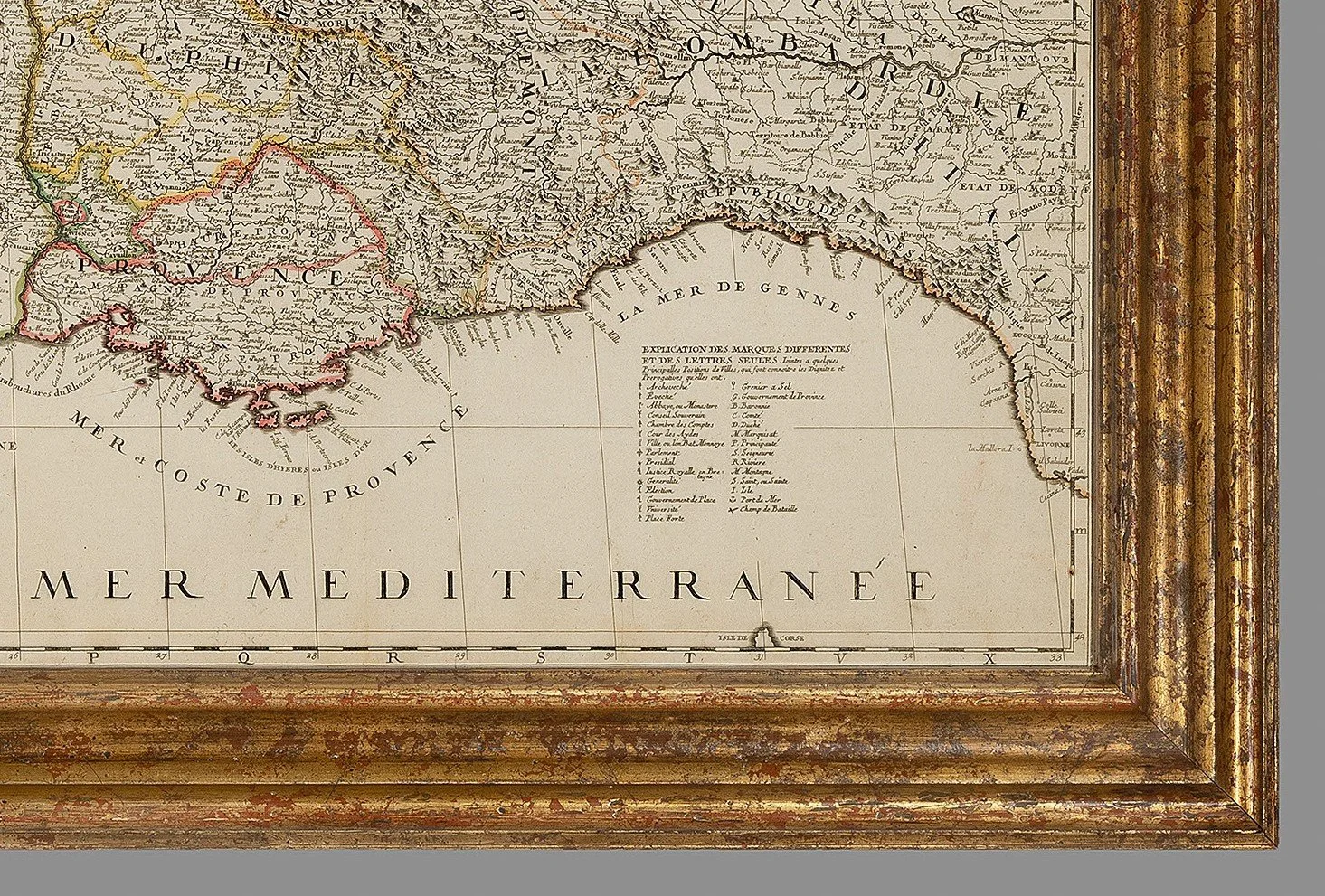
An impressive wall map of France, with southern England, Holland, and the states of western Germany.
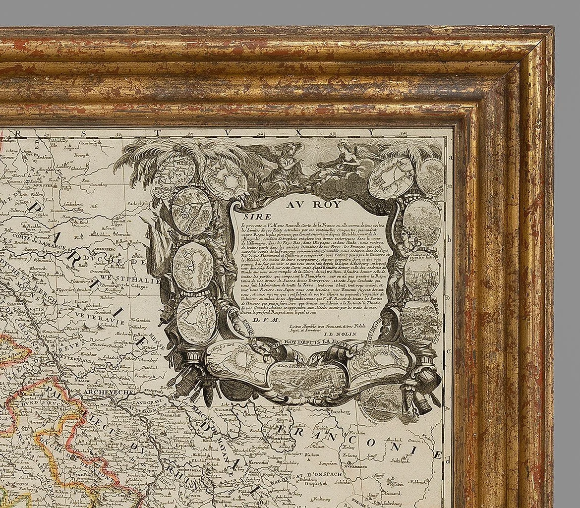
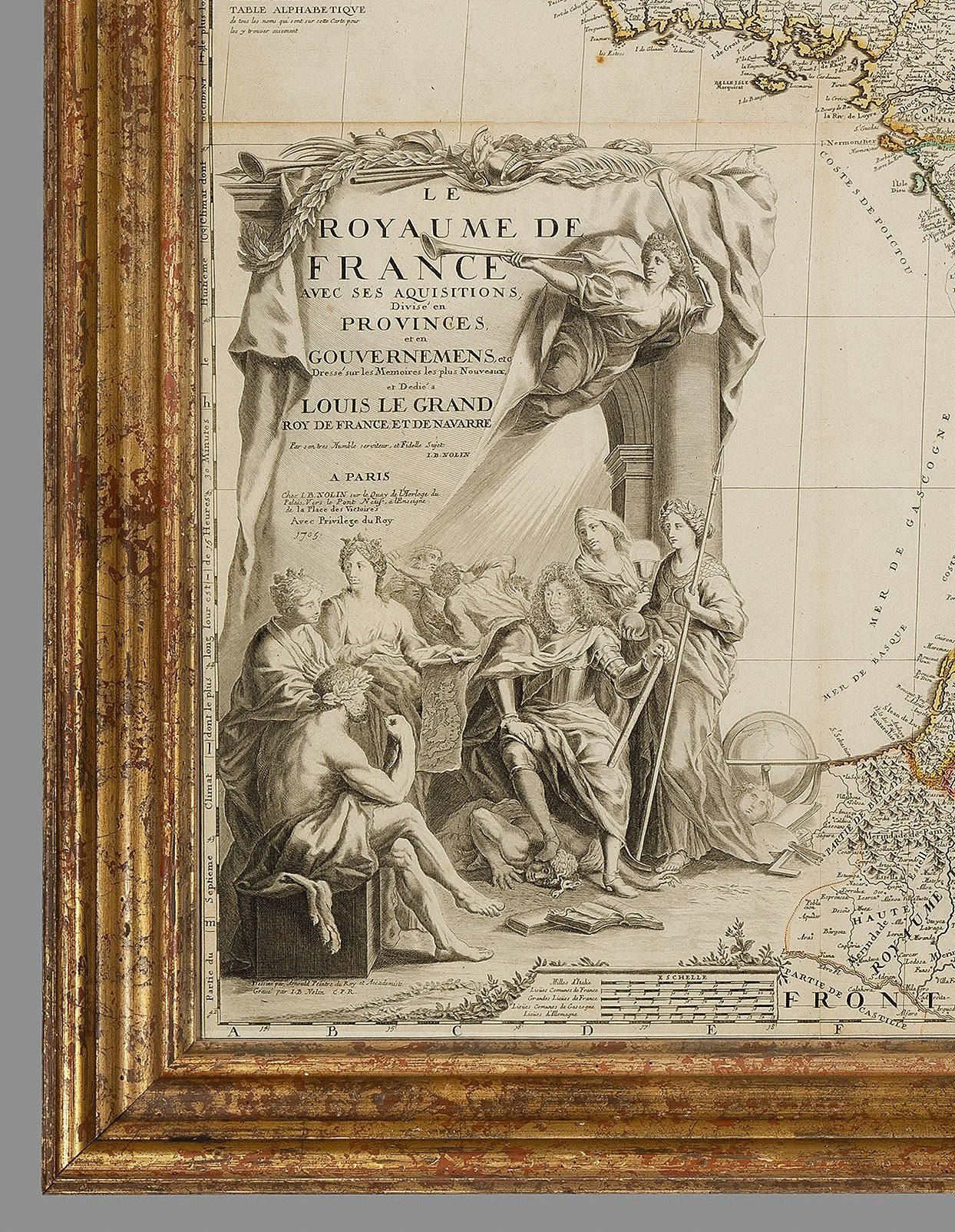
It celebrates Louis XIV's victories early in the Nine Years' War (1689-97); the cartouche top right contains 14 medallion maps and plans of battles and towns. The title cartouche features the king in armour.
This map was first published in 1692, this edition is 1705.
PRICE: £3,800


