A WONDERFUL MID 19TH CENTURY MAP OF LONDON
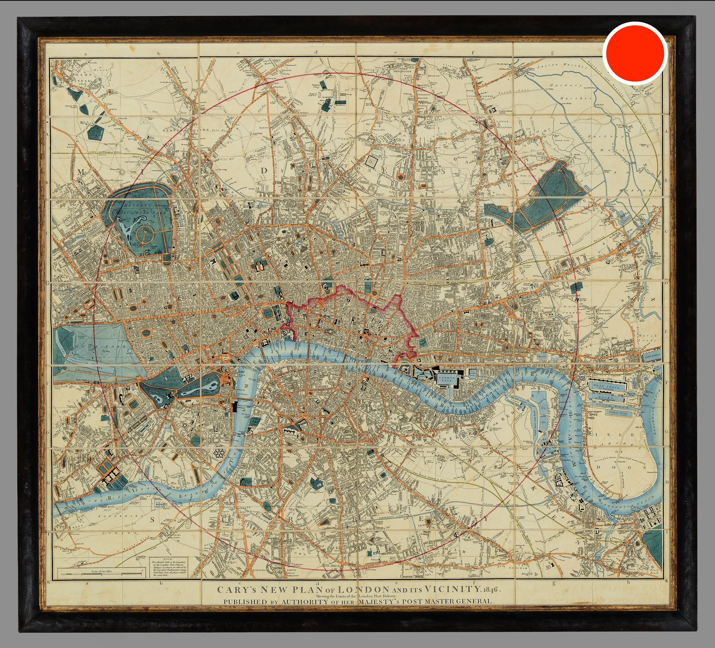

A WONDERFUL MID 19TH CENTURY MAP OF LONDON
SOLD
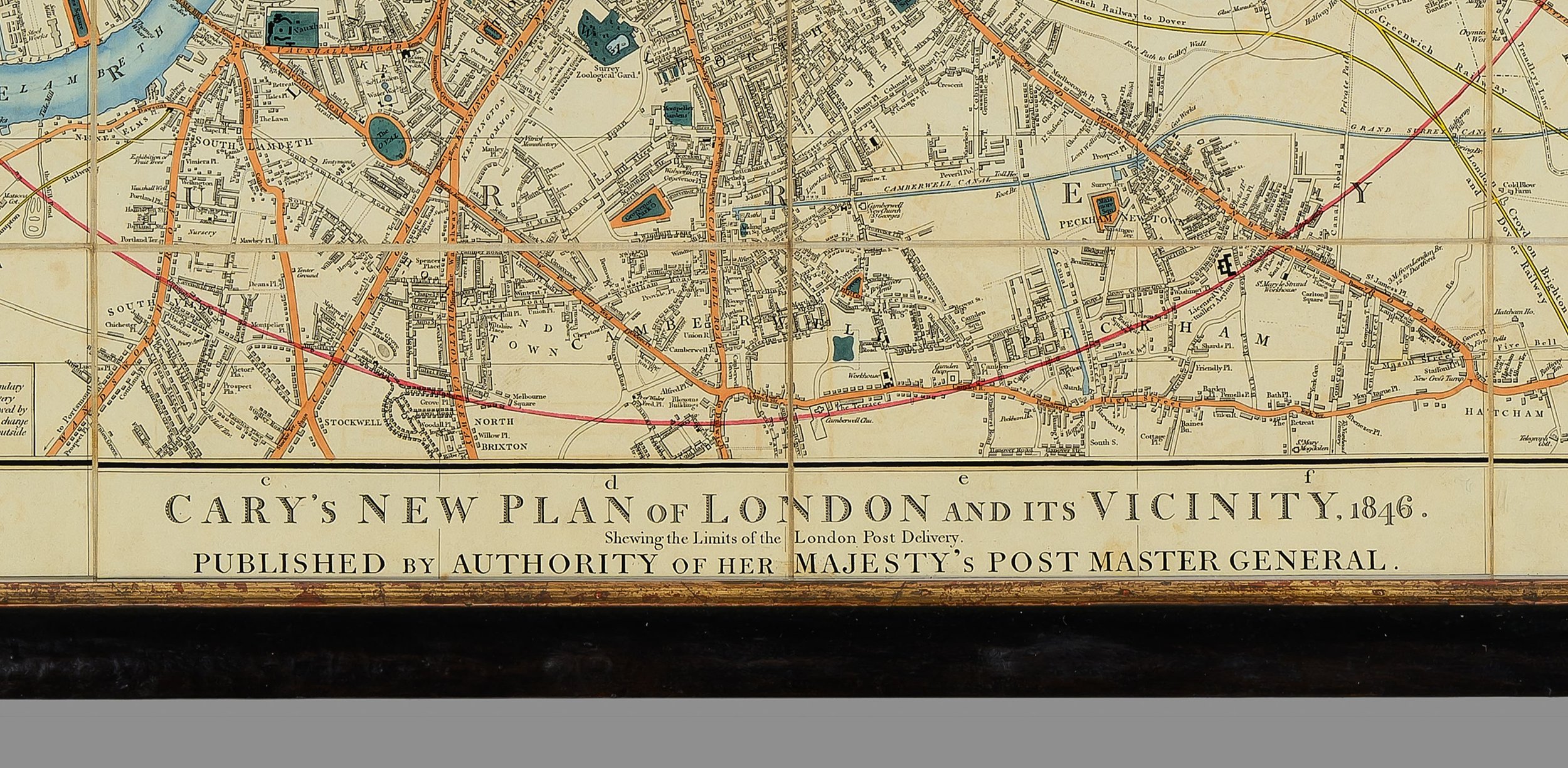
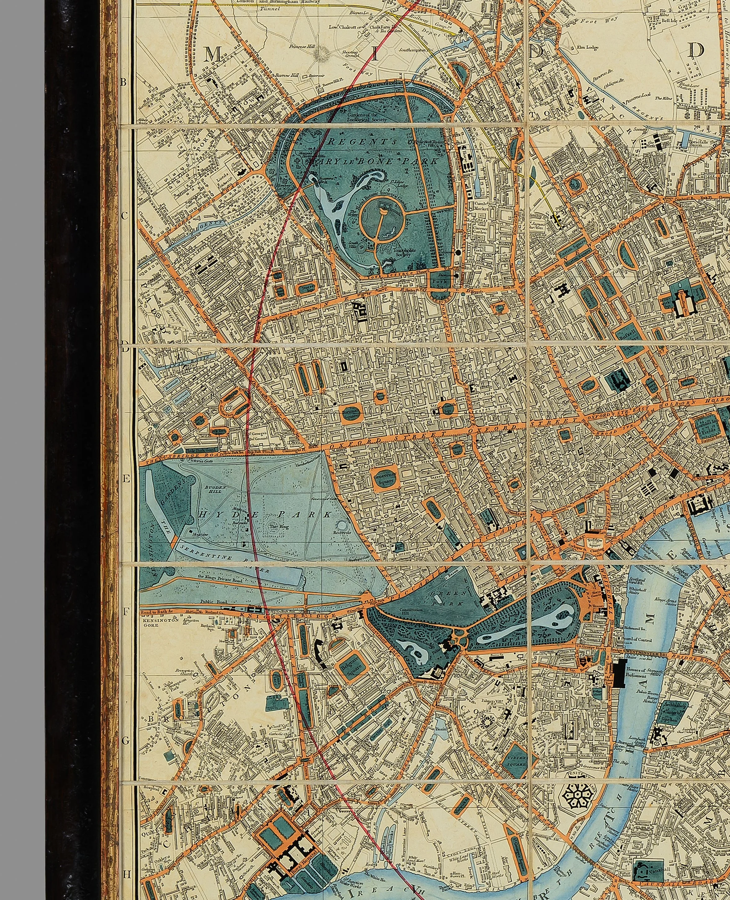
Cary's New Plan of London and its Vicinity.
A large, detailed, folding map of London with vibrant original colour, segmented and backed on linen.
The circular boundary line shows the limit of the Two-Penny Post area.
First published by George & John Cary in 1820, this map is dated 1846.
Note, in lovely original condition with original hand colour.
Framed in a black and gilt frame.
Dimensions (framed):
Height: 32 inches, 81.5cm
Width: 35.5 inches, 90cm


