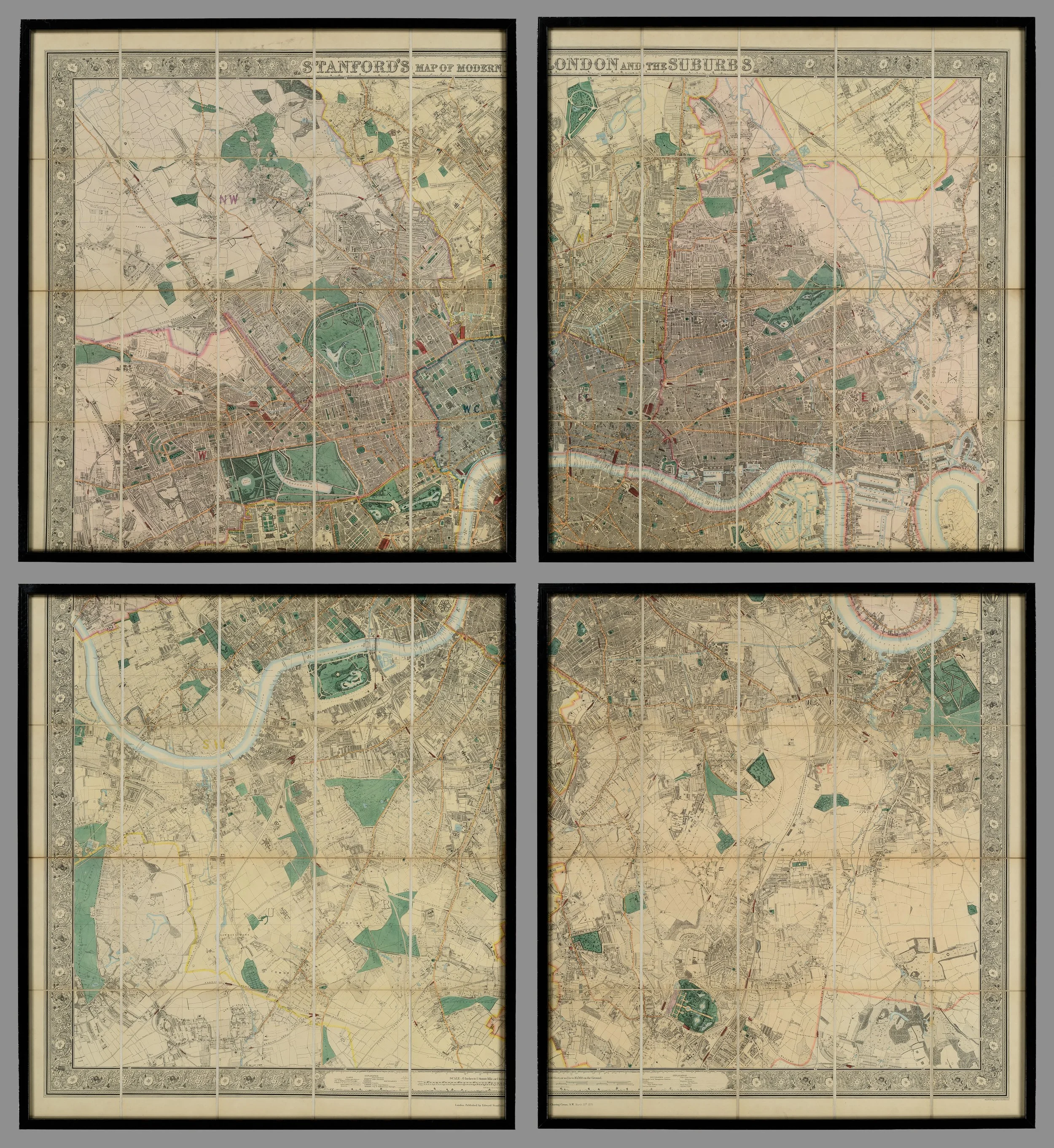
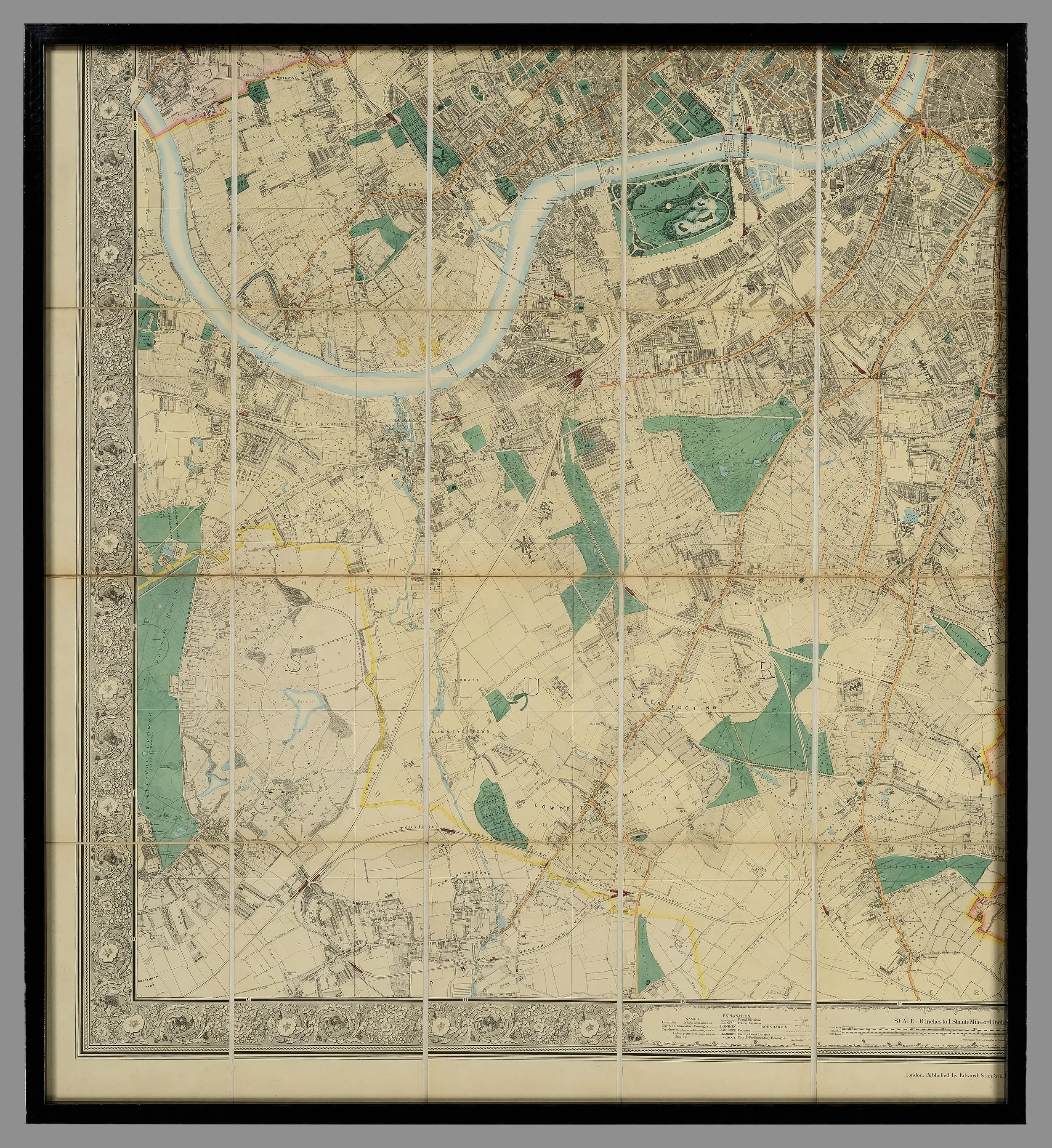
AN EXCEPTIONALLY LARGE LATE 19TH CENTURY WALL MAP OF LONDON


[Click image to view in new window, left or right arrow to see previous or next image.]
AN EXCEPTIONALLY LARGE LATE 19TH CENTURY WALL MAP OF LONDON
London. Stanford (Edward, publisher), Stanford's Map of Modern London and the Suburbs, March 30th, 1878, large engraved map with lovely original colouring.
Date: March 30th, 1878.
Note, an incredibly detailed map of 19th century London in wonderful original condition.
Dimensions (framed):
Height: 201cm
Width: 185cm


