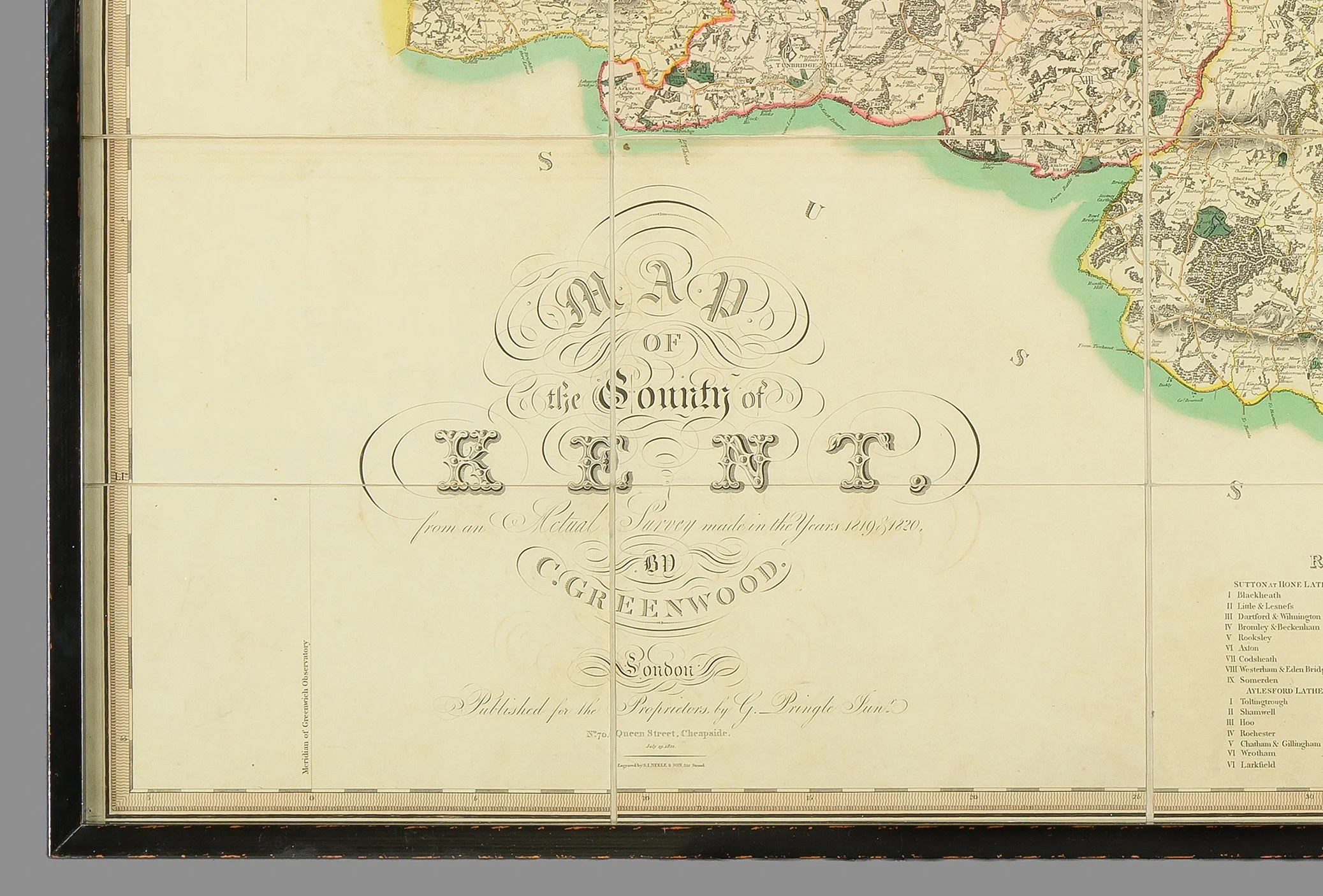
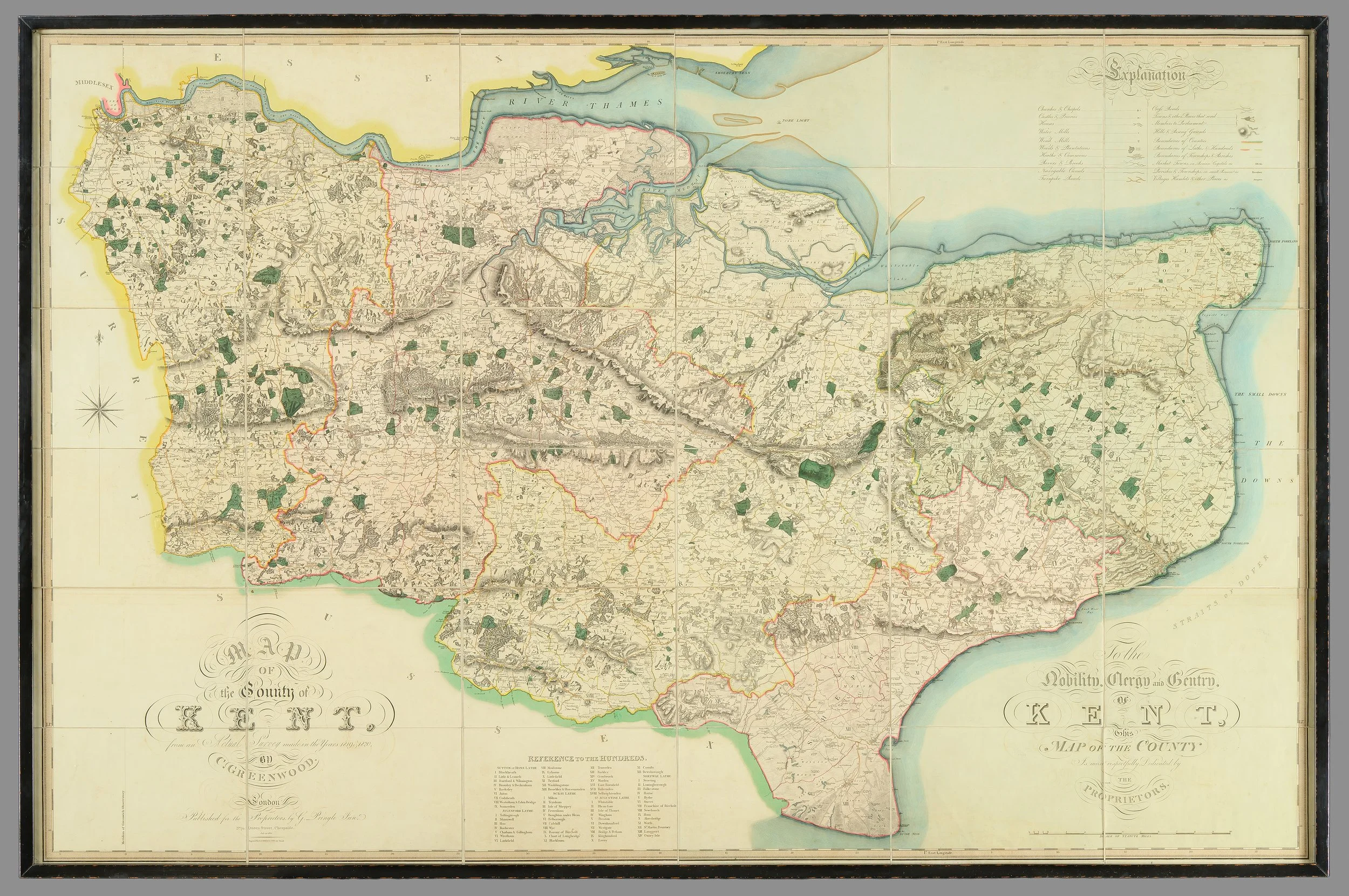
A Large-Scale Early 19th Century Wall Map of Kent (1821)


[Click image to view in new window, left or right arrow to see previous or next image.]
A Large-Scale Early 19th Century Wall Map of Kent (1821)
An impressive and highly detailed large-scale wall map of Kent, published July 19th, 1821 by Christopher and John Greenwood.
Note, framed in a black lacquer frame.
This striking map exemplifies the exceptional craftsmanship and precision that established the Greenwoods as leading figures in early 19th-century cartography.
The Greenwood brothers set new standards for large-scale county surveys in England and Wales. Beginning their ambitious project in 1817 with Lancashire and Yorkshire, they went on to map 34 counties by 1831. Although they did not complete every county, their work remains among the finest of the period. Interestingly, many of the counties they did not cover were later mapped in a comparable style by Andrew Bryant.
Technically, Greenwood maps surpassed the already high standards of the previous century. While they lack the ornate decoration and elaborate title cartouches typical of earlier maps, they instead offer a remarkable level of clarity, accuracy, and functional detail.
This Kent map is a masterclass in surveying and engraving. It meticulously records:
County, hundred, and parish boundaries
Churches and chapels
Castles, quarries, and estates
Farmhouses and gentlemen’s seats
Heaths, commons, and woodland
Parliamentary representation
Distances between towns
Considering the speed at which these maps were produced, their accuracy is extraordinary. Originally sold at three guineas, they were significantly more expensive than early Ordnance Survey sheets (priced at 7s 6d), reflecting their scale, completeness, and superior detail.
A rare and visually commanding piece, ideal for collectors of antique maps, British topography, or early 19th-century cartographic works.
Dimensions. (Framed):
Height: 117.3 cm
Width: 179.6 cm
PRICE: £3,300


